Explore Earth with AI-Analyzed Satellite Imagery
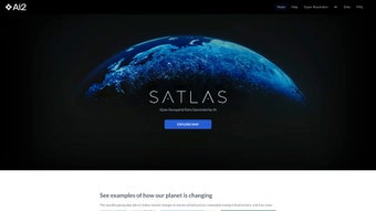
Satlas is an advanced AI tool designed for analyzing Earth's changes using satellite imagery. Developed by AI2, it employs monthly geospatial data to highlight transformations in marine infrastructure, renewable energy, and tree cover. Users can examine specific case studies, such as offshore wind farms in various countries and deforestation in the Amazon, providing a comprehensive view of environmental changes.
A standout feature of Satlas is its Super-Resolution capability, enhancing low-resolution images to high-resolution clarity. Utilizing sophisticated AI models and a vast dataset of over 30 TB, Satlas offers freely accessible geospatial datasets for offline analysis. This tool is valuable for researchers and enthusiasts looking to understand the dynamic changes occurring on our planet.


